Neufchatel en bray – la Houssoye. 43 miles plus 10.
As long as there are no deviations, today should be our furthest day. I did witness various magic creams being applied before we set off, no doubt in anticipation of the expected 40 plus miles. However, I should probably not mention this, but of course I have.
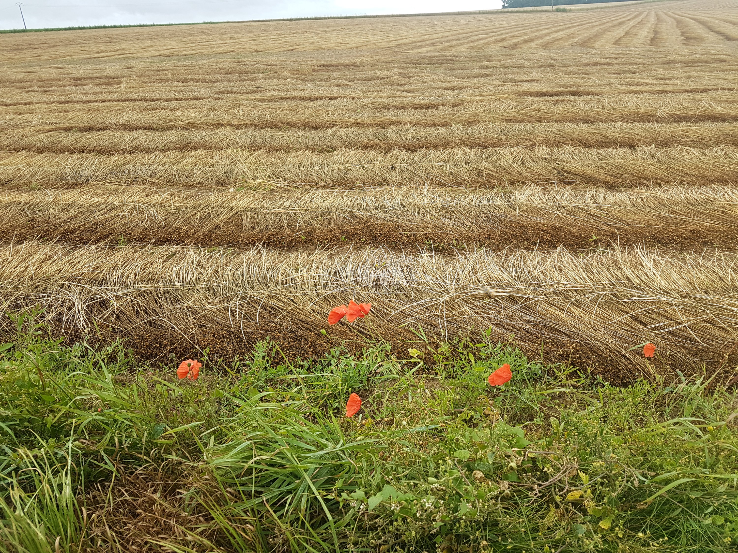
Breakfast is included in our stay at Cellier du val Boury where our room is in the converted farm buildings of a destroyed chateau. I wonder does this count as staying in a chateau? Along the route the farmers are harvesting their crops. Does anyone know what this crop is? It is neatly cut in rows but then left lying on the ground. In some villages we have seen it tied, in bundles, to farm gates and posts.
Have I mentioned that I am not well? Sue says its only a cold. I think it is at least pnumonia. Thank you to David for your suggestion of where to find sympathy!
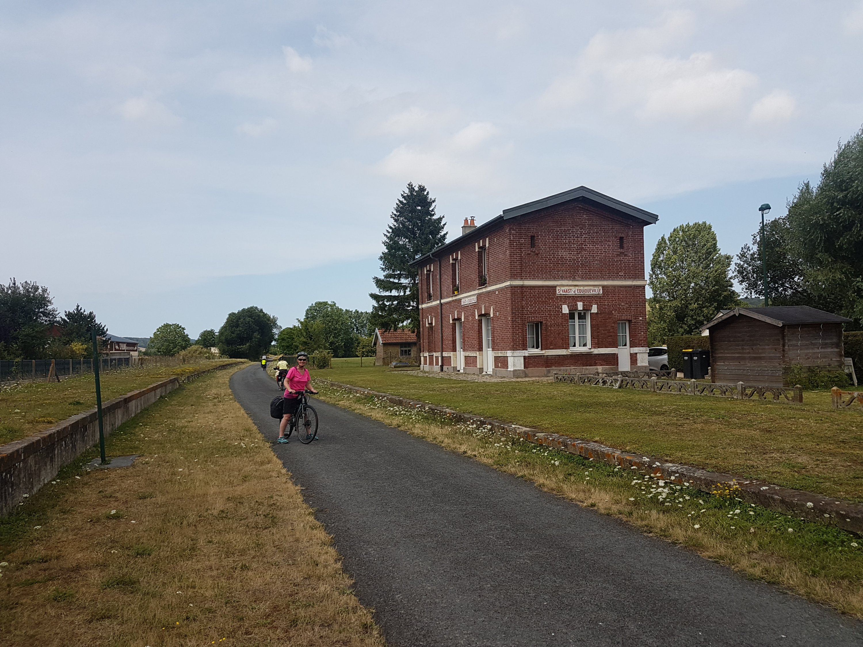
We navigate back through Neufchatel en Bray to the Avenue Vert and follow it for around 10 miles on the old railway track until we arrive in Forges Les Eaux.
Just outside the town we come to a diversion where they are building a new bridge over the operational railway. They have put a temporary bridge for cyclists and pedestrians which has a few steps which we have to negotiate. The bridge leads to a footpath/cycleway with no signs. At the end of this we have three choices. While consulting Garmin a French cyclist points across the main road, down a track and back onto the Avenue Vert. With a sigh of relief we set off as directed. Our euphoria is short lived, as after only a mile or so the Avenue Vert cycleway comes to a dead end.
With no signs to give us a clue, and after consulting Garmin, I can see the route I planned on the otherside of the town. We decide to head in this direction, looking for a cafe for our morning coffee enroute. After coffee further on we come to the original route signs. Hurrah for Garmin.
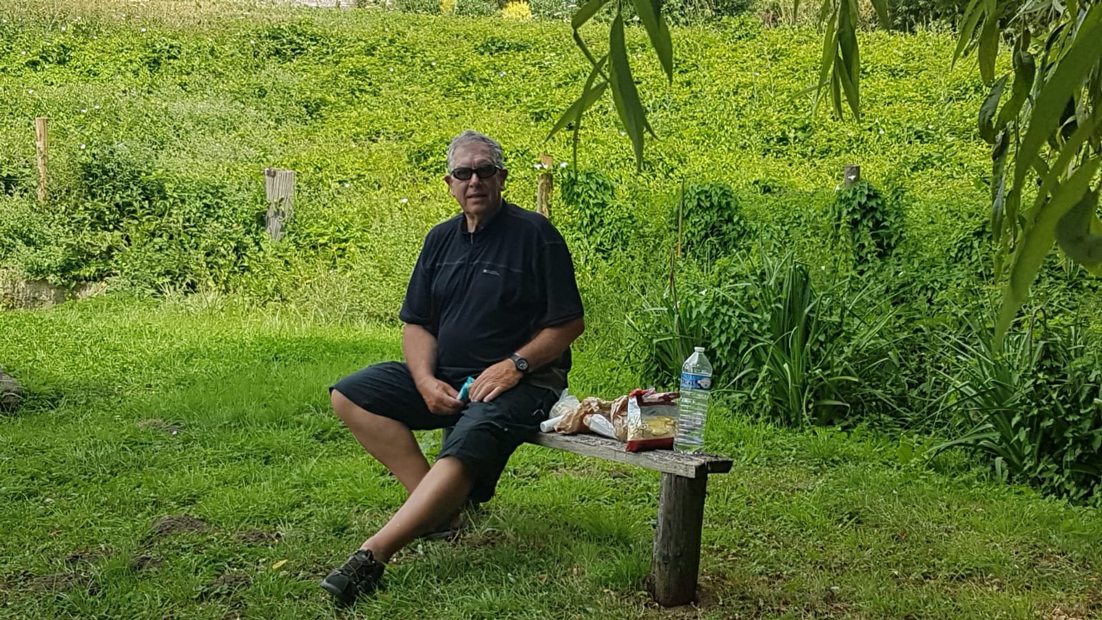
We are now on small roads that both wind and undulate towards tonight’s accommodation, or so we think. After travelling for around 27 miles, in searing heat (my compatriots opinion), we arrive at the top of yet another hill. Bad timing – my compatriot throws a wobberly. She wants a rest and reveals she is feeling under the weather. I offer the grass verge and a Haribo, both of which are declined. I cycle, on just out of earshot for a couple of miles, until I find a bench at the side of the road and offer a lunch stop. This is also declined so we continue to the next town for a cold drink and long rest. Two Perrier seems to do the trick and then we set off to find a picnic spot. We follow the Avenue Vert signs and come across a grassy area with a small bench, willow tree, and a very green pond. While eating lunch a farmer pulls up in his tractor, towing a large bowser. He gives a friendly bonjour and proceeds to pump water from the pond into the bowser. He then departs with a wave leaving behind less of a pond than had been there when we had arrived.
After lunch I am asked by my compatriot if the magic cream is handy. Now I know why she is under the weather! A short way along the road we come to a nice new section of Avenue Vert. As it is on a nice smooth track we follow it. We meet a group cycling on the London to Paris for charity and stop for a chat.
At the nominated 42 miles when we are scheduled to end today’s ride, I switch to google to locate our accommodation. It is at this point that I discover there are several Avenue Vert routes. The ‘nice’ new one that we have been following which has taken us 10 miles from our designated route, and therefore our accommodation. How am I going to break this news to my compatriot? I decide, at this stage, it is better not to mention anything.
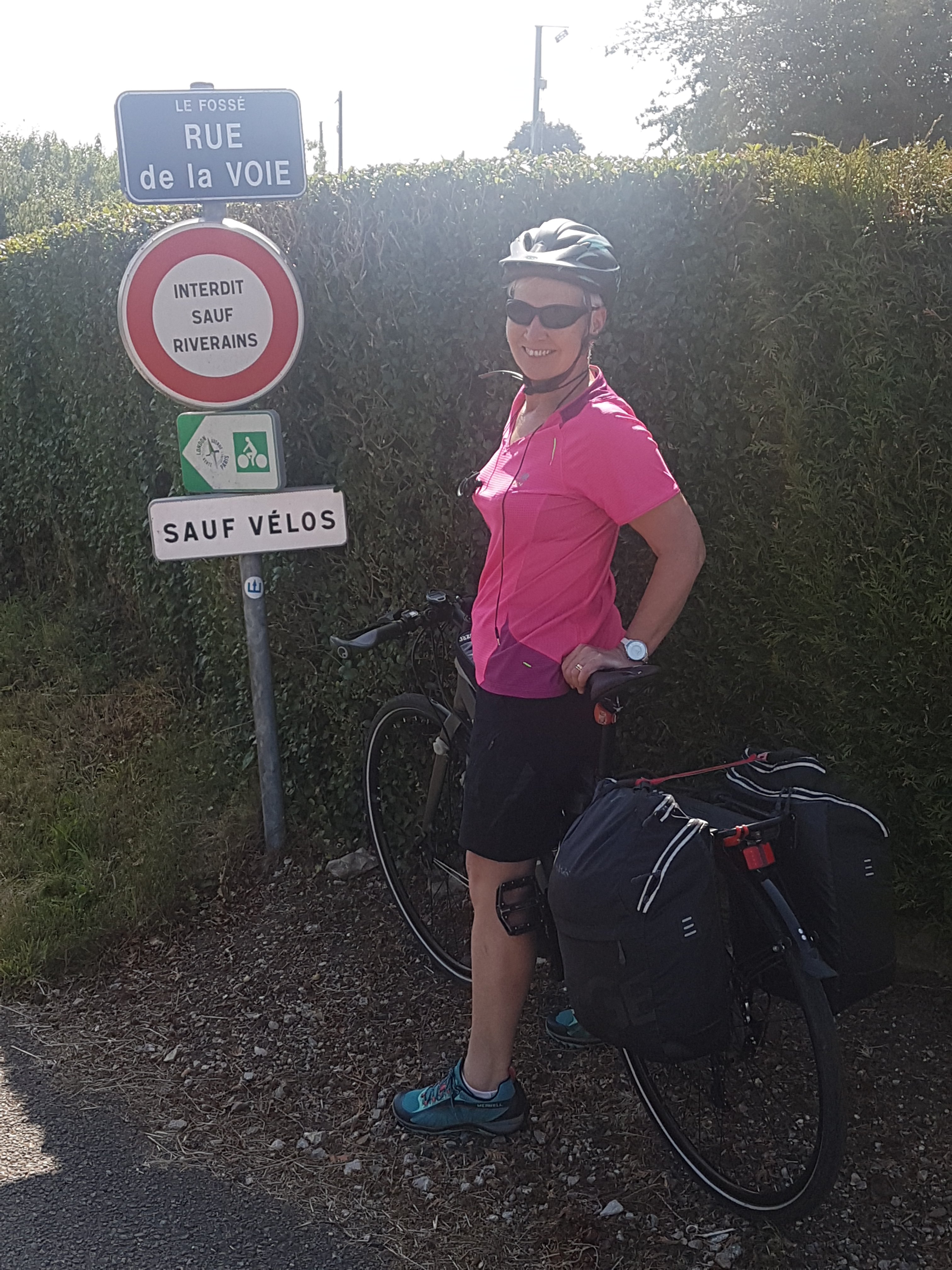
Luckily Google takes us on a nice scenic, but rather hilly, route towards tonight’s chateaux. It does however have the last laugh as, at a few kilometres from our destination, it turns us right onto what shortly becomes a farm track. I stop to consult all available technology and can see there are no other roads. At least none that will not add significant mileage to our journey and so I decide to press on. The farm track is named as Rue something or other, but as it becomes less of a track and more of an overgrown path my compatriot starts to loose confidence in Google, Garmin and me!
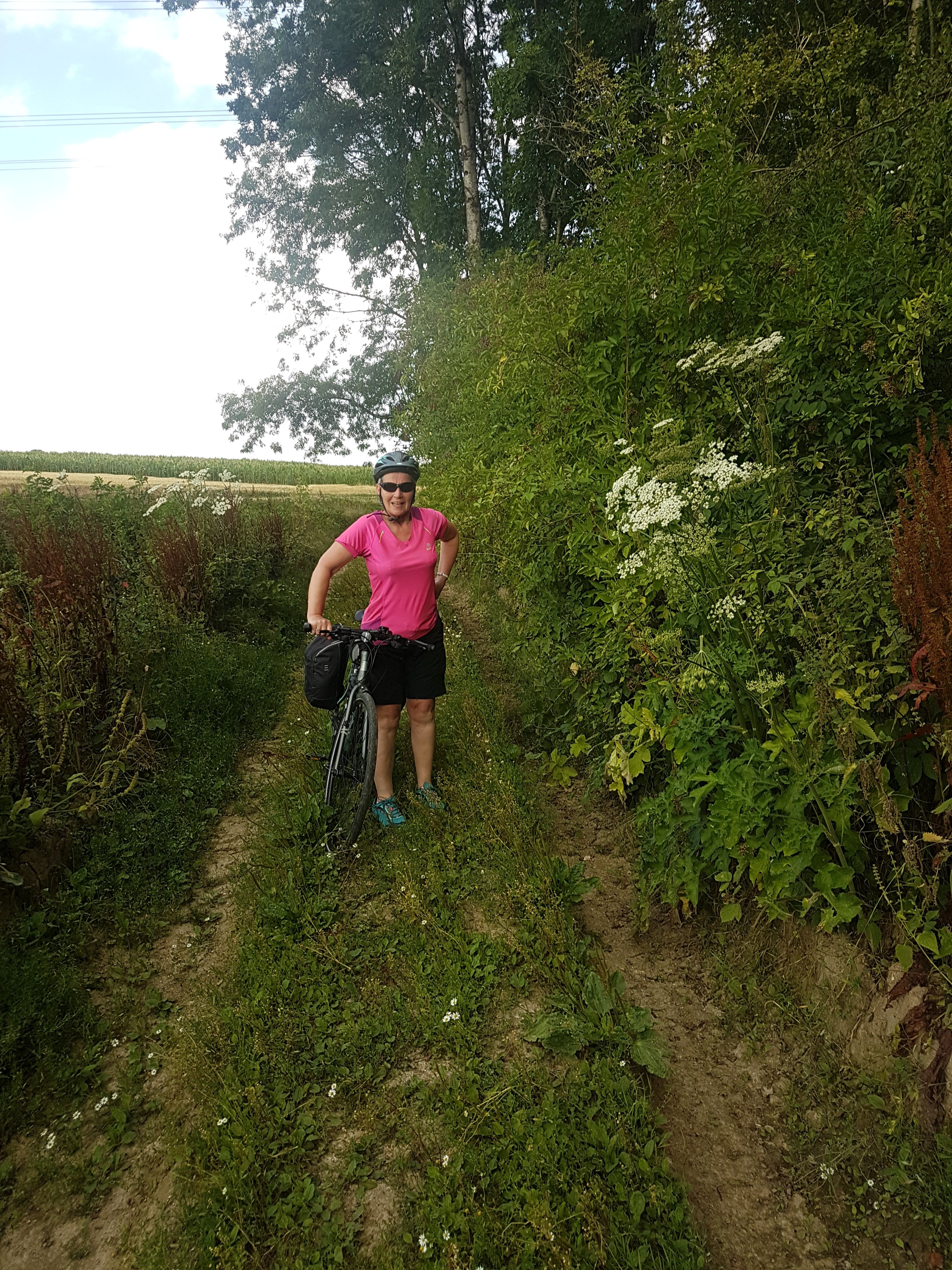
However, we press on, the path goes down hill, through woods which according to Google, has another road name. This route would present a challenge to off road Land Rovers, so unsurprisingly we are, by now pushing the bikes through the uneven undergrowth. I risk a quick look behind me and note my compatriot is smiling, however shortly after she is caught short, so I am left holding two bikes. She disappears with some tissues. So that’s why she looked like she was smiling.
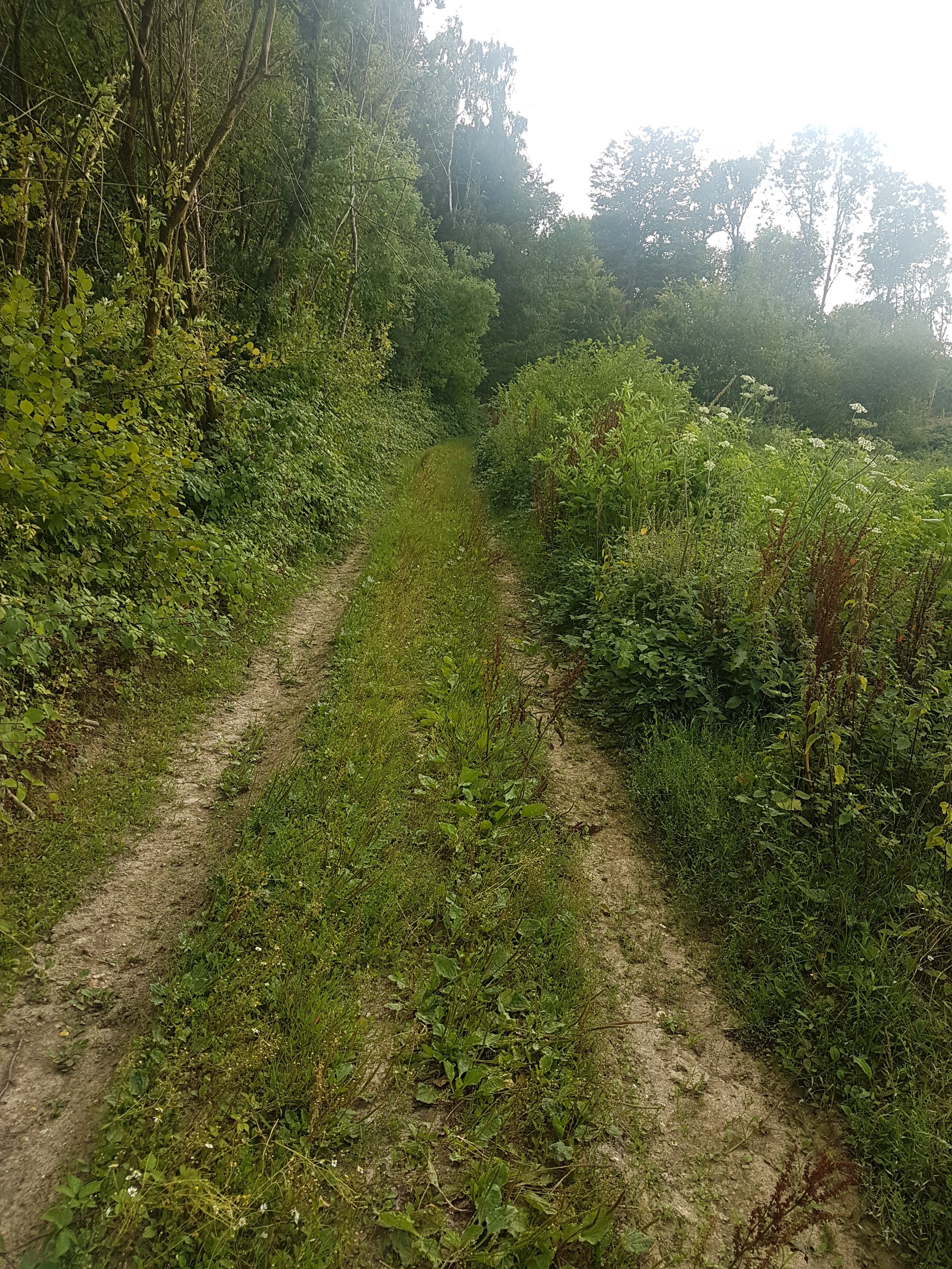
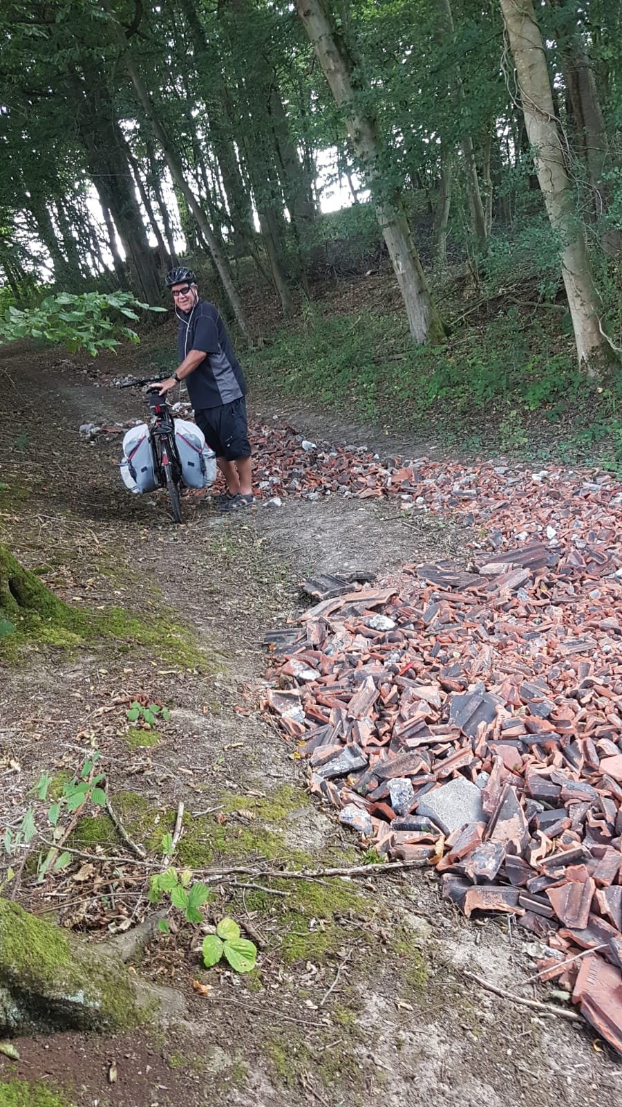
Back out of the valley the track is now blocked with overgrowth. Luckily we can push our bikes into an adjacent freshly cut corn field and eventually onto a better track. However this had been compromised by some clever farmer dumping hardcore along it.
After 3 kilometres we emerge onto a real road. Google then, thank goodness, takes us the last kilometre to the Chateaux.
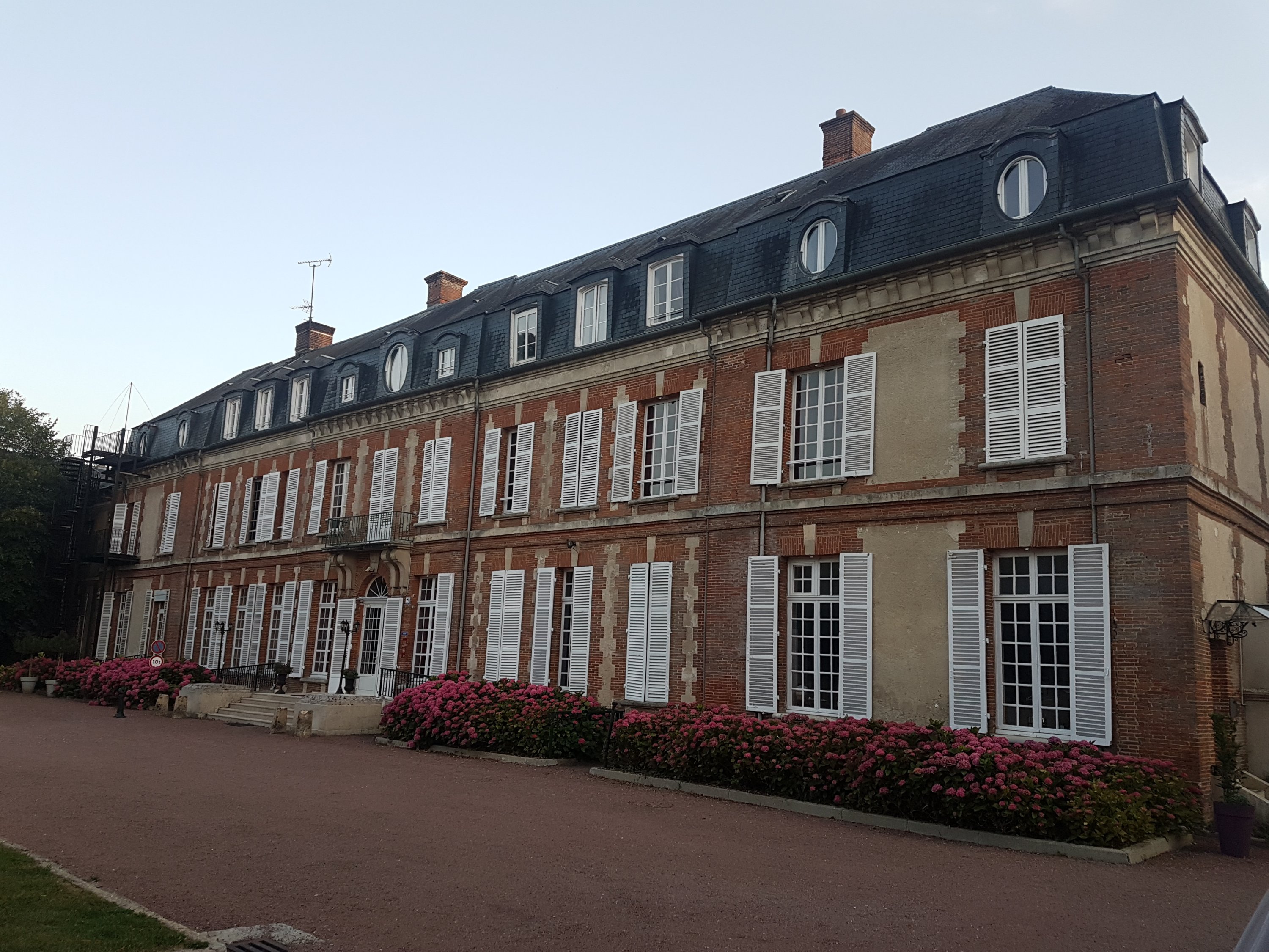
Fortunately the destination is well worth the tortuous route and the extra 10 miles.
Today’s ride totals 53 miles plus a short walk to a bar for a couple of beers, and then a Pizza establishment for dinner. We know how to live!
You two are completely nuts to think this is a holiday!!!
Bev, you may be right!
Glad we’ve never has such problems with our map reading! Good old Headwater notes! Wendy
Exactly. If I didn’t have Ed I would definitely need Headwater.
Well done peeps!
Thanks. You and Sally next year?