La Houssoye – Villennes-sur-Seine 40 miles plus 4.
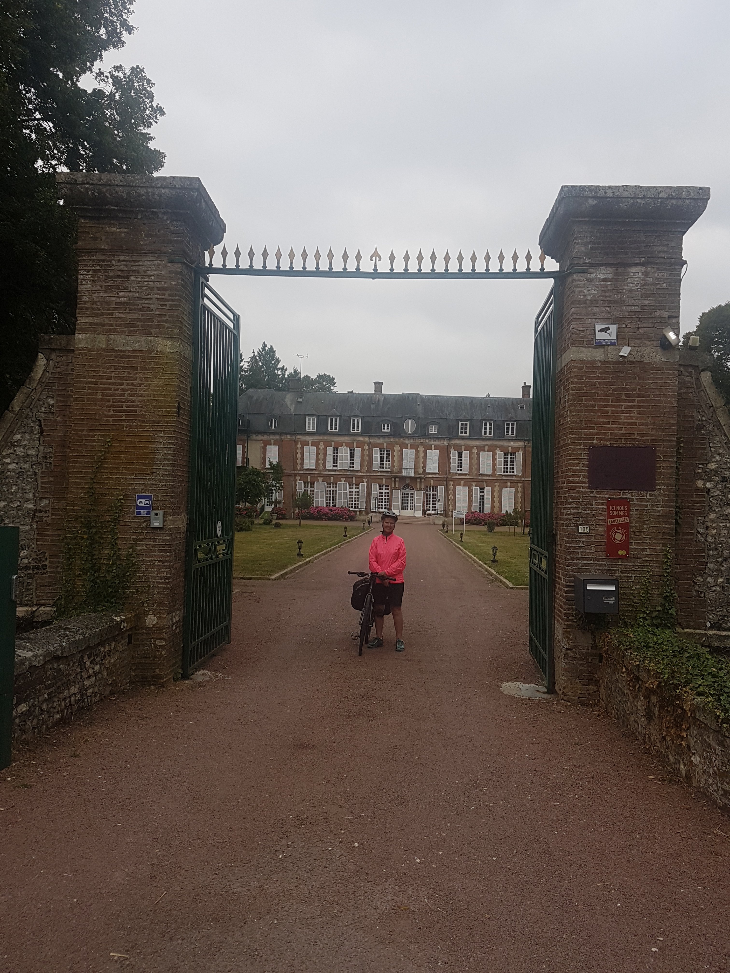
When we returned to the room last night mine hosts had left a bottle of wine produced from their own vineyard on the door step. This was a lovely gesture and we have stored the gift in Ed’s pannier. ( Ed want’s to reduce weight by drinking ASAP) This morning the Garmin route starts outside the gate where last nights should have finished !
After yesterdays drama with diversions across fields and along farm tracks, not to mention the additional 10 miles, I, the Compatriot, have taken charge of the blog. We will stay on the Garmin route today with no deviations. (At least my compatriot with time on her hands has conceded that sticking to my planed Garmin route, rather than the signs she had spotted, is more sensible, and avoids the need for cross country navigation).
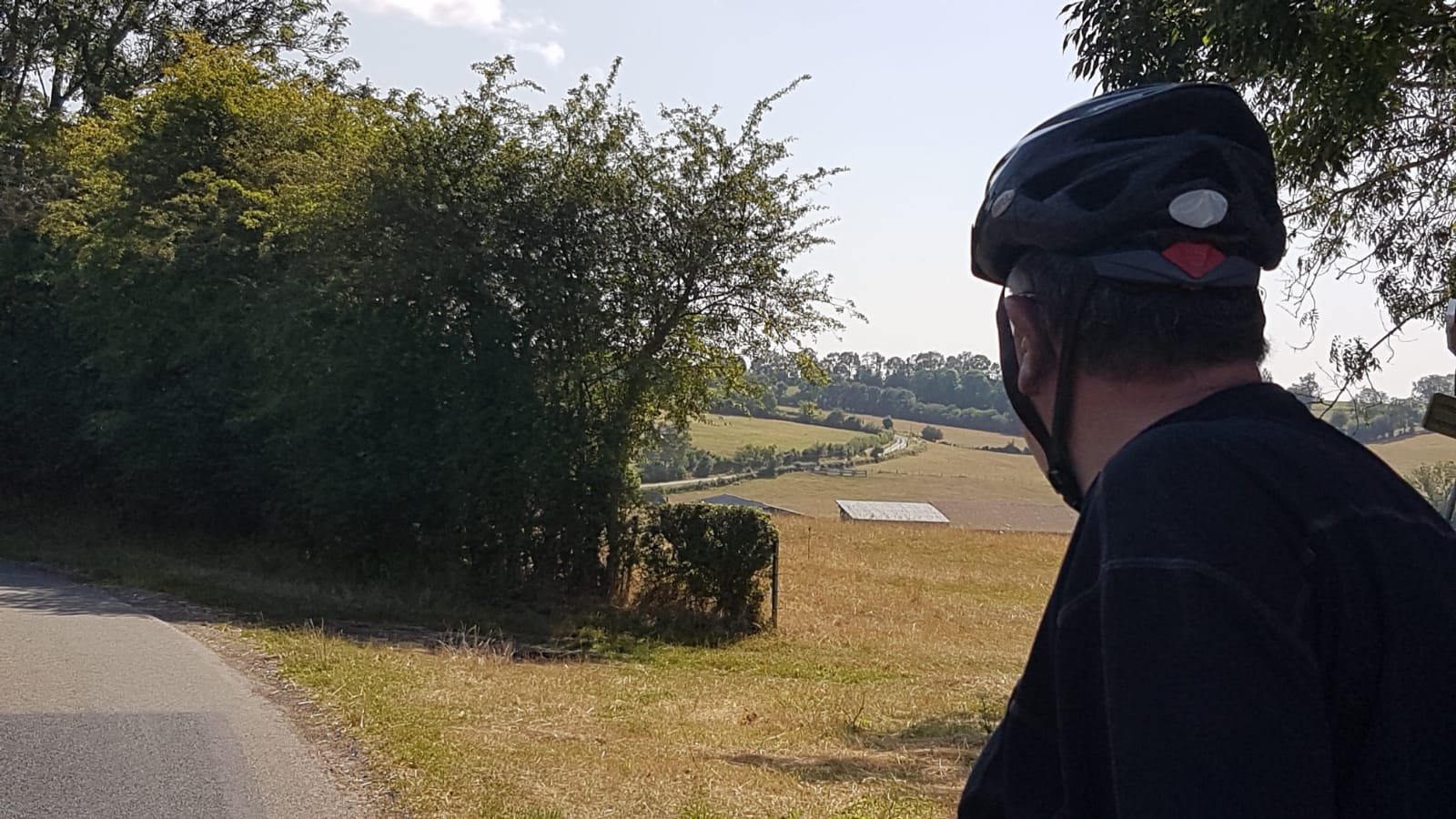
Our first 10 miles this morning have taken us through a series of villages and huge areas of farm land. Hills are followed by long gentle down ward slopes and so the miles and time pass quickly.
Bread is purchased in one village and fruit in another, as shops are few and far between. We stop in a pretty village called Fleury for coffee. While as I type this blog my Compatriot is twitching, hoping to get control of ‘our’ adventure back in his clutches. The second 10 miles takes us through the Iles de France which should probably be renamed Hills de France. Suddenly we find the Avenue Vert signs and as they are running parallel to the Garmin route we decide to follow them. It is traffic free but on rough gravel so the going is slow. We chat to a group of French cyclists who are also finding the route difficult to follow.
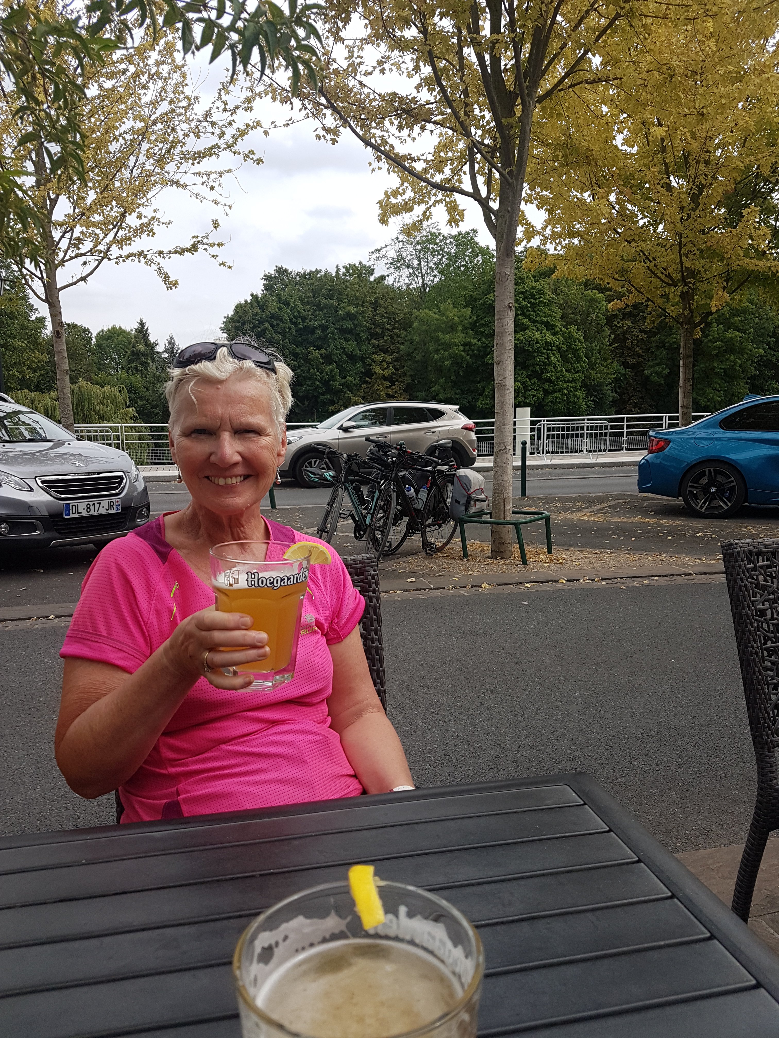
We stop for a drink in Marine where the town square was being renovated. While we sat guests started arriving for a wedding in the Marie. I enjoyed admiring the many beautiful outfits before the bride arrived in a car honking its horn and with motor cycle out riders revving their engines to make them back fire.
Our navigator (Compatriot senior) having looked at a proper map has deduced there are two Avenue Verts from Dieppe to Paris as well as the Garmin route from the official government French Velo tourism web site which follows neither of the signed routes.
To avoid dehydration ( yesterday’s tantrums) we stop frequently for drinks. (This does however double the loo stops for the incontinent Compatriot).
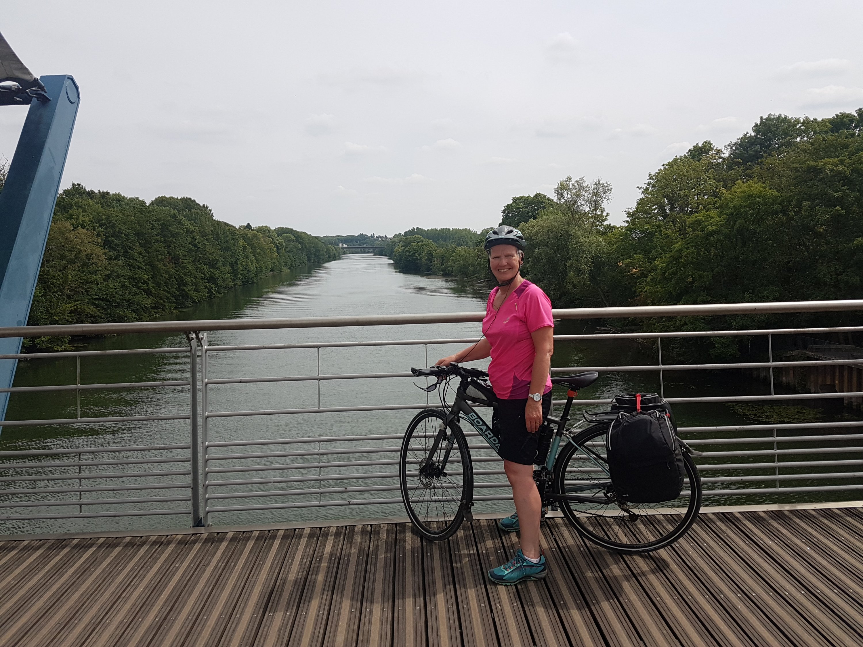
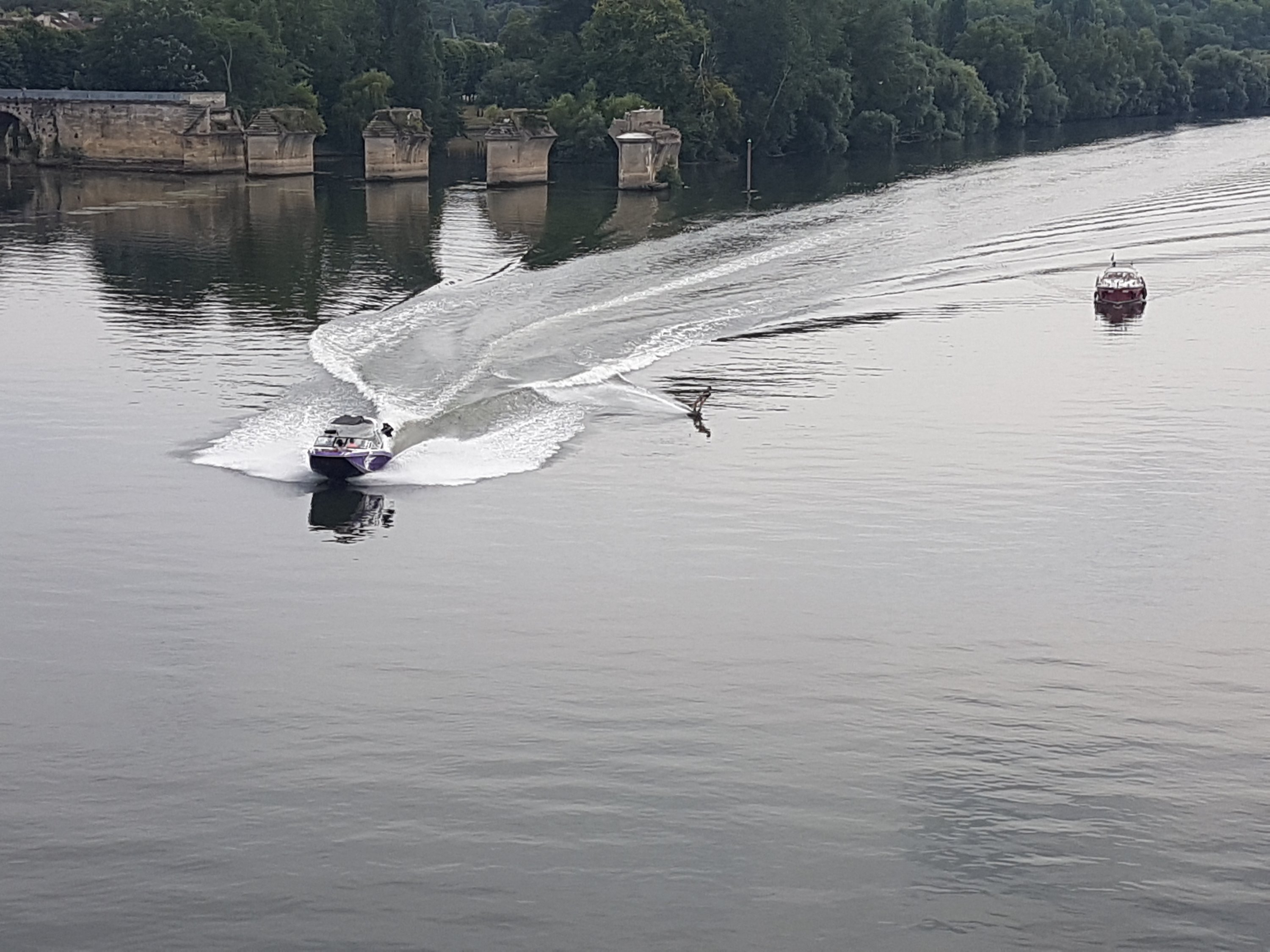
Having followed an Avenue Vert, not sure which one, we eventually reach the river L’Oise a tributary of the Seine which we follow, and then we cross a bridge onto the side of the Seine but travelling away from Paris to get to tonight’s accommodation, a hotel in the Campanile chain.
Following this route did added 4 miles to the days journey but it was a much more interesting traffic free route through housing estates and along the rivers.
(The unemployed Compatriot is “fatigued” so it will be steak & chips and a few drinks at the hotel tonight. No one can say that every day on this trip is not different).
No real dramas today but what will tomorrow bring?
Funny – I seem to recall that when I put together the route for the Dinosorearse trip it was simplicity itself, with no missing bits, or extra 10 miles here and there. Then again, though, I did research it all on good old paper IGN ; non of this new-fangled Garmin nonsense!
Richard, you are correct but so old school, and being the owner of an electric bike. Anyway with the weight of enough IGN maps to cover a 600 odd mile route i would still be struggling to get up the ramp of the ferry
Ed
I totally agree with Richard Booth, a paper map is the way to go, might be old school but is by far the best GPS. As regards space and weight, the solution is to buy front panniers, one side for maps and the other side for mein hosts wine, this will keep you balanced. Talking of being balanced, I agree with Bev.
Martin. I do have a map of the cycle ways of France for emergencies. However the scale only allows me to head for large towns. Garmin is the way forward and has got us out of trouble as well as in it. I don’t like to admit some might have been operator error or at least listening to the compatriot.
You reliance on electronic navigation doesn’t seem to be improving – if I remember from last year, there were times when you weren’t show if you were using miles or kilometres
Dave,
To be fair had we just followed Garmin it would mostly have got us there. What we did not realise is the the official French website download did not follow the signed route. I have cracked the k’s v miles. The Garmin on the current Velo Scenic route mostly matches the signs. We are living and learning. Electronic is the way forward!